Historic Mount Olive Cemetery
Wilmington, Delaware
The USGS (U.S. Geological Survey) publishes a set of the most commonly used topographic maps of the U.S. called US Topo that are separated into rectangular quadrants that are printed at 22.75"x29" or larger. Mount Olive Cemetery is covered by the Wilmington North, DE US Topo Map quadrant.
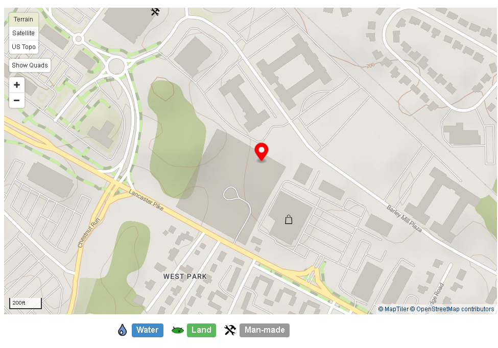
There are 3 different maps in this link - satellite, US Topo and Terrain (select upper left corner)
|
Double-click to download
PDF map |
|
Topographic
Map (showing streams) |
|
The numbering can be confusing. Based on burial permits;
the sequential numbers shown in the map are chronological - the cemetery had
numbered stones which they placed by a burial. When a headstone was placed,
the numbered stone was picked up and re-used to mark another grave. 3 Oct
1929 53y Choice Trans 479 on stone 20 Oct
1929 45y trans 483 on marker 26 Oct
1929 20y Trans 484 on stone *directions relative to standing at the gate, back to
Lancaster Ave - The baby row
is near the front of the cemetery, along Lancaster Ave to the left of the
gate. The Choice Transit is the mid-cemetery, front to back. The Poor
Transit is upper-left under the heavy trees, and extends to the stream. The
Sections overlap the transits - Section C
is mid-cemetery, rear right along the tree line of Section B Section D
- the very front to the right of the gate Section B
- under the trees, to the upper right Section A
- to the left of the gate Family lots
can be anywhere in the cemetery and overlap both Sections and Transits. If
known, these are listed as Lot Grave in the record. |
Notes for GPS: The entrance to the
cemetery is: N39 45'.379 W075 35'.863. All stones within the cemetery are: N39
45.xxx W075 35'.xxx
We were able to find stones with ca. 7 ft accuracy on a clear day using a
hand-held GPS. Accuracy under the trees was about 10 ft.
NOTE: Stones which were moved from St. Peters are generally in a WSW
orientation. Later stones are in an EW orientation.
Additional area photos:
|
Unmarked
graves - NW fence line |
Large
Gates - E Corner |
topo (small)
